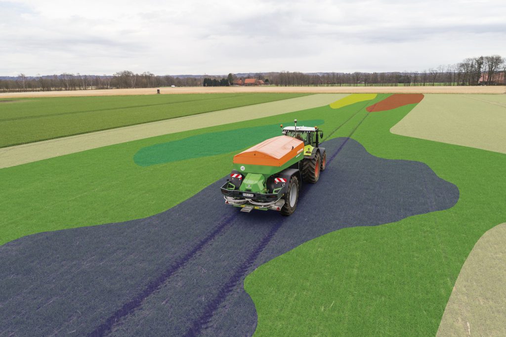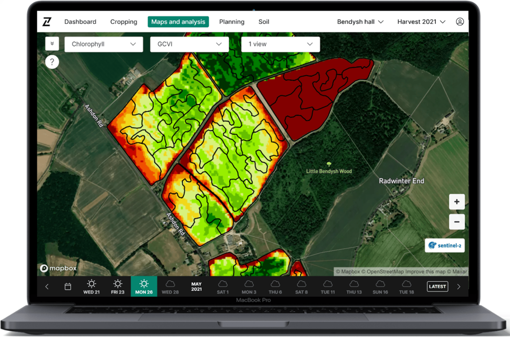
Experience a new level of precision with the tramlines imagery update
10
AUGUST, 2021
Release Note
Precision planning just got better. In the latest update to Contour, we’ve used AI technology to filter out the effects of tramlines without detriment to the underlying data, leaving you with just what you need: greater accuracy and improved recommendations.
Here’s how it works:
- Raw satellite imagery is gathered and refined as usual ready for upload into Contour
- As part of this process, new algorithms automatically detect where the tramlines are in each image
- Points within tramlines that have lower biomass are automatically removed and therefore do not influence the relative data points adjacent to the tramlines. This approach provides cleaner imagery without any compromises to image quality
- As a result, the new process offers greatly improved precision and accuracy in image-based seed and nitrogen planning
- It also gives users greater field insights and easier navigation when field walking
Be sure to log in to Contour and check it out over the next few days as we apply this to new imagery, and see below for a sneak peak of what to expect: