Home > Posts > Optical Satellite Imagery Improvements in Contour
13 August, 2019
Optical Satellite Imagery Improvements in Contour
Contour launches new mobile app enabling farmers
13
AUGUST, 2019
Global Release Note
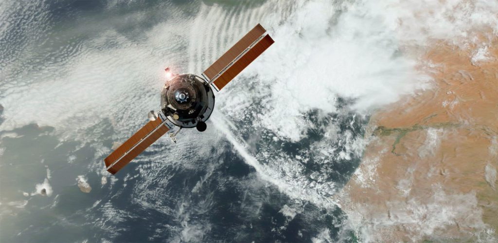
Upgrade to optical satellite imagery quality and frequency in Contour.
Today we announce improvements to our satellite image delivery, featuring improved image correction to provide an even more accurate picture with less atmospheric interference.
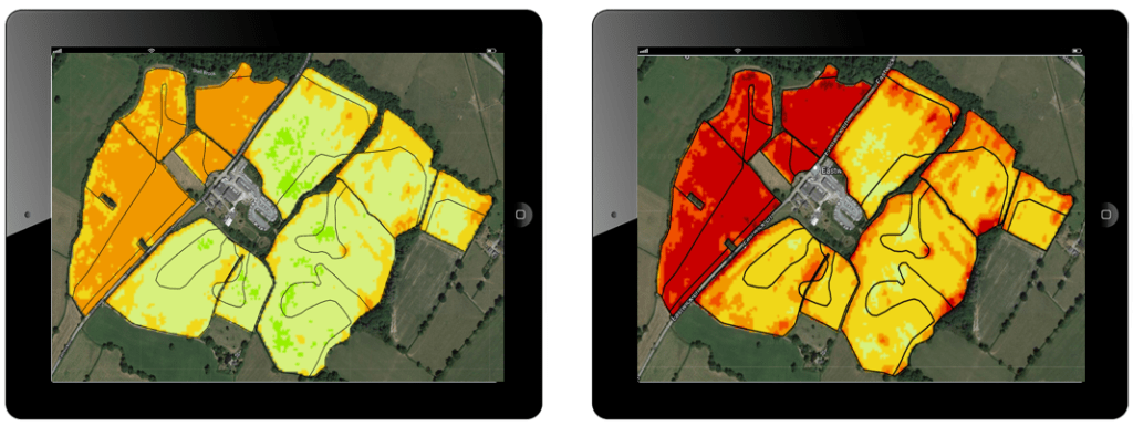
This major upgrade of our image processing also means Contour will deliver more imagery at a higher quality. You should notice a change in the imagery you receive in Contour as the example below shows:
Bottom of Atmosphere imagery such as NDVI (left) will generally appear more advanced than Top of Atmosphere (right). It should however be more consistent as it is less susceptible to variation due atmospheric conditions, which meant Top of Atmosphere imagery could sometimes vary from one image to the next.
Using Bottom of Atmosphere will result in more consistent images, which are represented by the weather condition icons on the maps and analysis page:
the sun icon represents a clear farm image, where a good farm image was available across the whole farm;
the partly cloudy icon view displays where images are available across some of the farm, field or management zones;
the cloud icon shows those days where a satellite image was obtained but, on review, was obscured by cloud, haze, or other conditions (such as snow) made the image unusable for decision making and is not presented in the system.
 the sun icon represents a clear farm image, where a good farm image was available across the whole farm;
 the partly cloudy icon view displays where images are available across some of the farm, field or management zones;
 the cloud icon shows those days where a satellite image was obtained but, on review, was obscured by cloud, haze, or other conditions (such as snow) made the image unusable for decision making and is not presented in the system.