RHIZA provides the basis for informed decisions in Lincolnshire
01
MARCH, 2024
News
Blog
The 1200-hectare Holton Farms in north-east Lincolnshire is fully invested in precision farming technology. From automated guidance and yield mapping to soil texture analysis to variable-rate seed maps, these systems deliver a range of management benefits. Bringing the layers of data together in a single program to enable management decisions that support the future viability of the business, however, has been central to unlocking the true potential of the information collected.
For farm manager Nick Young, data in all its forms has been central to improving profitability. This has taken the form of determining the extent to which the estate should engage in the sustainable farming incentive (SFI) and considering how interest in carbon storage among multinationals might come to be an opportunity.
Soils, and specifically management actions to promote and protect them, are a priority of the SFI with new actions set to be added to the list of options for 2024. It is not yet clear what will be required of land managers, but having good data on the soils that span the farm will make it easier to assess the viability of such actions be they under the SFI or Countryside Stewardship. The same applies to the hedgerow and buffer strip options while the addition of four new ‘precision farming’ actions under the SFI for 2024 is to be welcomed.
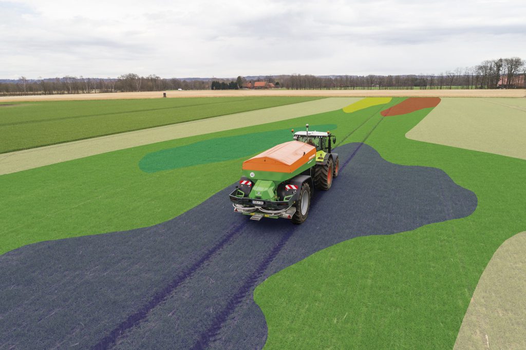
To bring all the data together for complete analysis, Holton Farms turned to RHIZA. The priority was to produce soil conductivity maps that would be the foundation of move to variable-rate seeding. This is done within the rotation, but the aim is to scan roughly 150 hectares a year beginning with those soil types with a higher magnesium content. On non-mapped fields, Normalized Difference Vegetation Index (NDVI) and Green Chlorophyll Vegetation Index (GCVI) imagery is used to produce seed maps.
NDVI imagery is used on non-mapped fields to identify variations and used to build seed maps.
These maps are produced by David O’Donohoe, the RHIZA crop input specialist for the region, and sent via wireless connection from the Contour platform direct to the tractor console. These maps are impressively accurate and more than once Nick has worried he will run out of seed. It hasn’t happened yet. Seed maps can also be adapted to reflect areas where rates are to be increased for other reasons, such as previously identified patches where blackgrass presents a challenge or on headlands where compaction might hinder establishment. It also makes life easier and removes delays and difficulties in getting equipment to work together.
Having maps based on soil zones has become especially worthwhile. The soils at Holton Farms range from 93% sand through to some beautiful-to-work loamy clays. When the drill operator, who has been on the farm for 43 years, tells you the system is not just easy-to-use, but also worthwhile it is immensely reassuring. Aside from the saving in seed costs, the crops develop far more evenly. To the operators, this is highly satisfying.
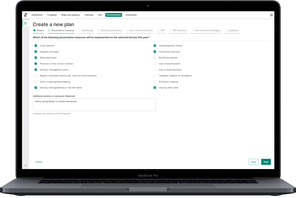
From a management perspective, one of the main advantages of the Contour platform is that serves as a single point for data analysis. With other systems this is not always possible, so being able to layer soil maps, field boundaries, satellite imagery and both NDVI and GCVI makes analysis easier and more complete. Through the Contour platform we also produce variable rate fertiliser maps based on soil analysis for nitrogen applications in sugar beet, and nitrogen and phosphate at drilling in oilseed rape. The assessments so far suggest it will be less worthwhile in combinable crops, but that may change.
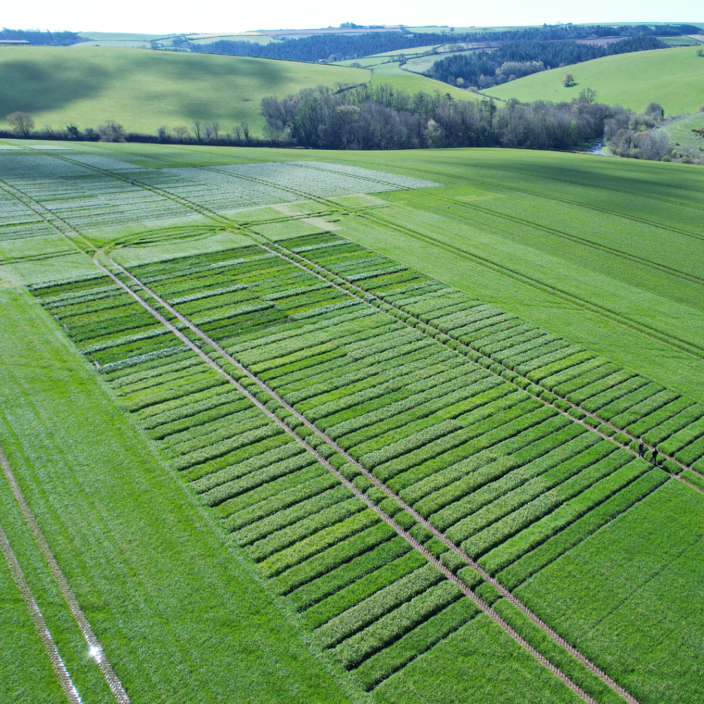
Like many other farms, Holton has its share of small fields – the average field size is 12 ha – and while the temptation is simply to take the smallest or most inaccessible fields out of production, there are other considerations. Yield maps help to inform such matters. Beginning with the least productive parcels of land or those in need of remedial work, such as addressing compaction or where drainage needs attention, the intention is to place such land into the SFI.
Exploiting the opportunity presented by the SFI and HLS is an objective for the farm. Like many other holdings, there are parcels of land that for one or more reasons unworthwhile to farm in the current climate. The most suitable course of action in such circumstances is to take them out of production. Placing them into an environmental scheme that offers financial compensation for doing so, is the logical option.
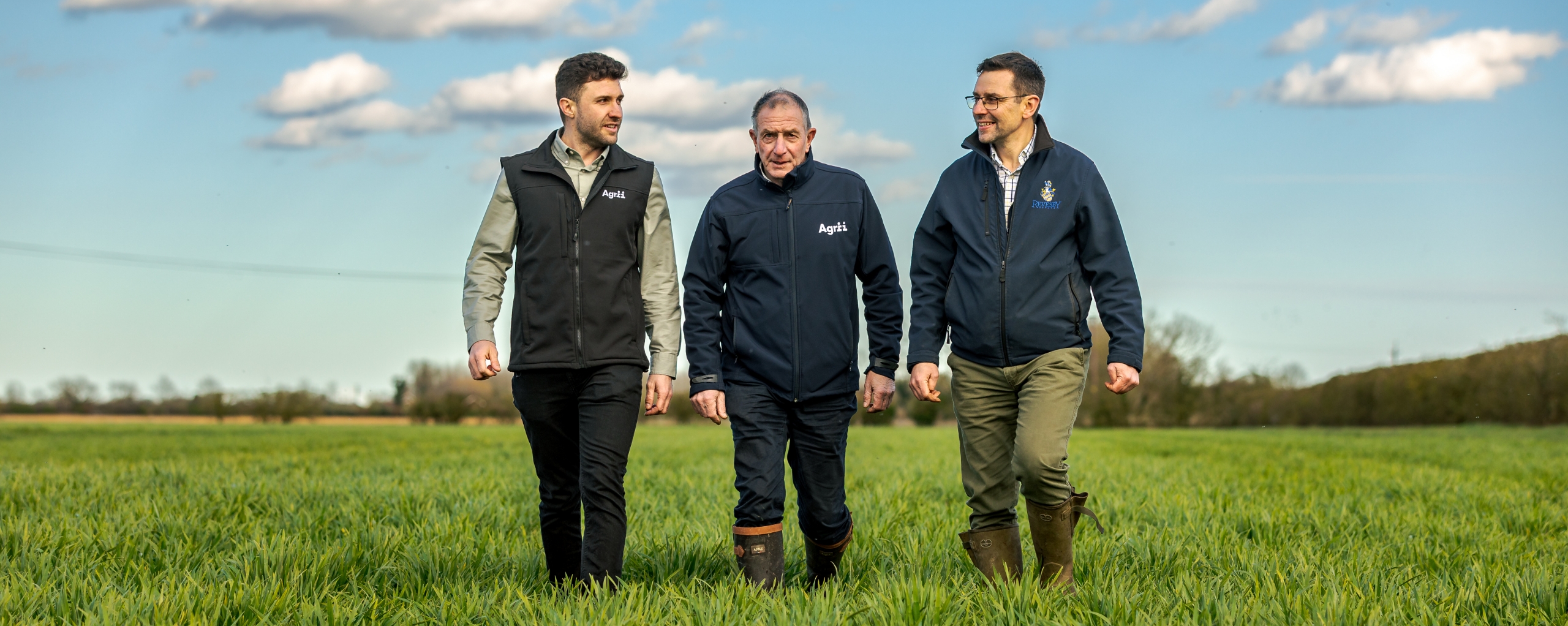
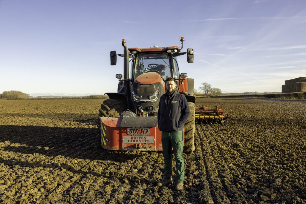
Nick Young is the Farm Manager at Holton Farms in Lincolnshire.
The precision farming tools adopted over recent years are central to identifying such land parcels beyond the obvious array of small or out-laying fields.
A threat to production that while not overlooked, had certainly been underappreciated until the advent of quality mapping data, is compaction. It is the biggest impediment to performance at Holton, but its presence is not always obvious from a height of six feet.
In many respects, compaction is unavoidable and efforts to correct it often conflict with how the farm seeks to manage and protect its soils. Using the RHIZA Contour platform, it was possible to assess the impact on crop performance and determine the cost to the business. It quickly became clear that correcting the issue would more than pay for itself and, consequently, the cultivation regime has since been amended.
The farm has generated a lot of data mainly in the form of visual assessments such as yield maps, soil texture or aerial imagery. These have been used to support both variable seed rates, identify underperforming areas in need of attention, and parcels of land suited to environmental schemes. But will it stop here? The SFI is likely to be just the first of a series of policies that seeks to encourage farmers to change behaviour. Large consumers such as Nestle, PepsiCo and General Mills have either introduced policies or are developing policies that pay for much the same type of activity as the SFI, but in a more targeted manner.
The data captured so far will be central to determining interest in such schemes should the opportunity arise, but more will be needed to demonstrate their value to society.